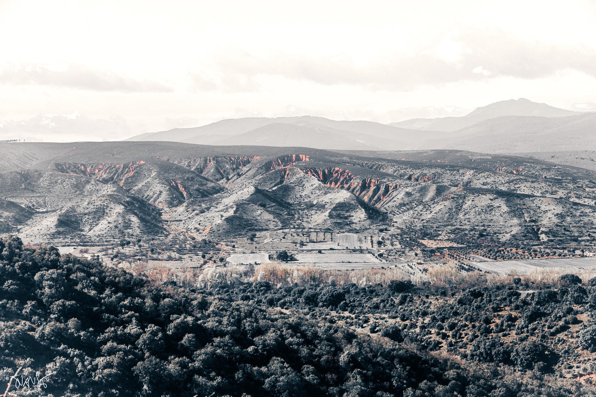
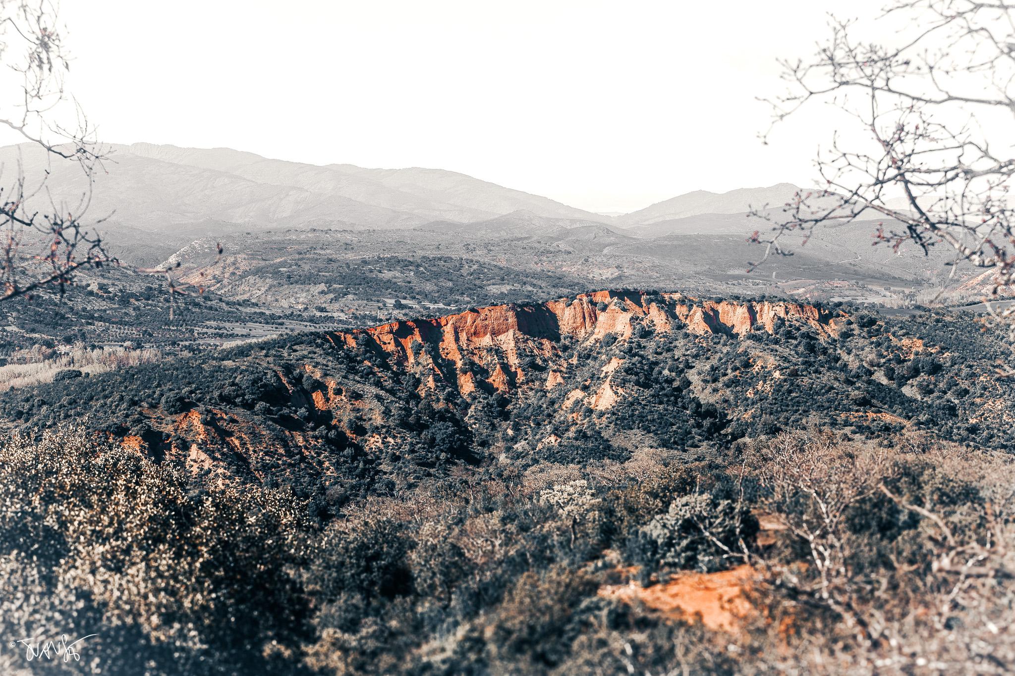
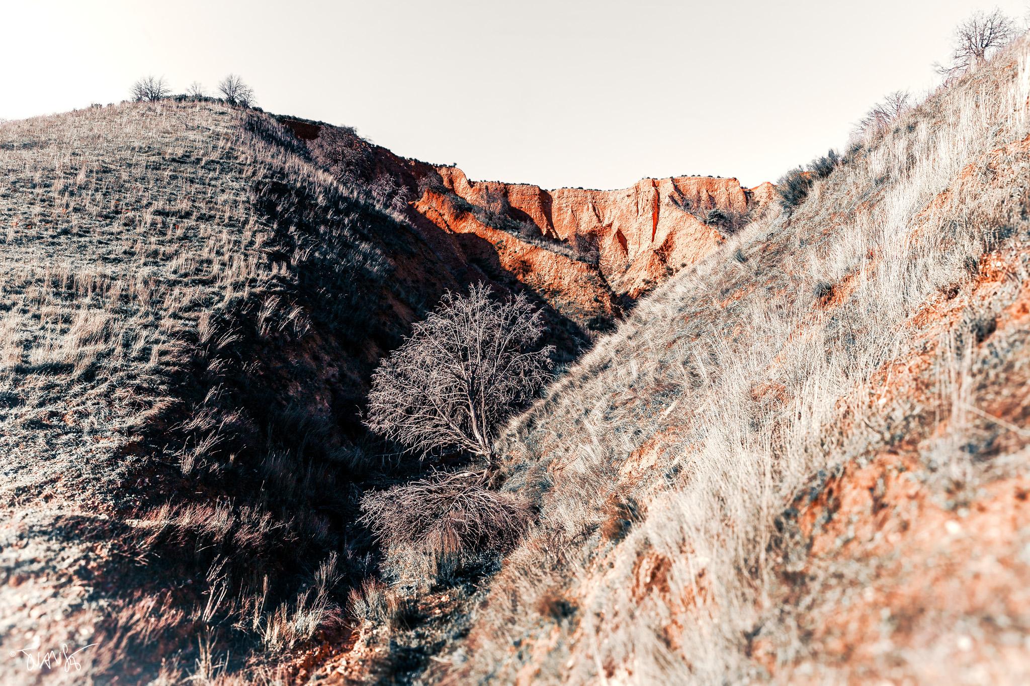
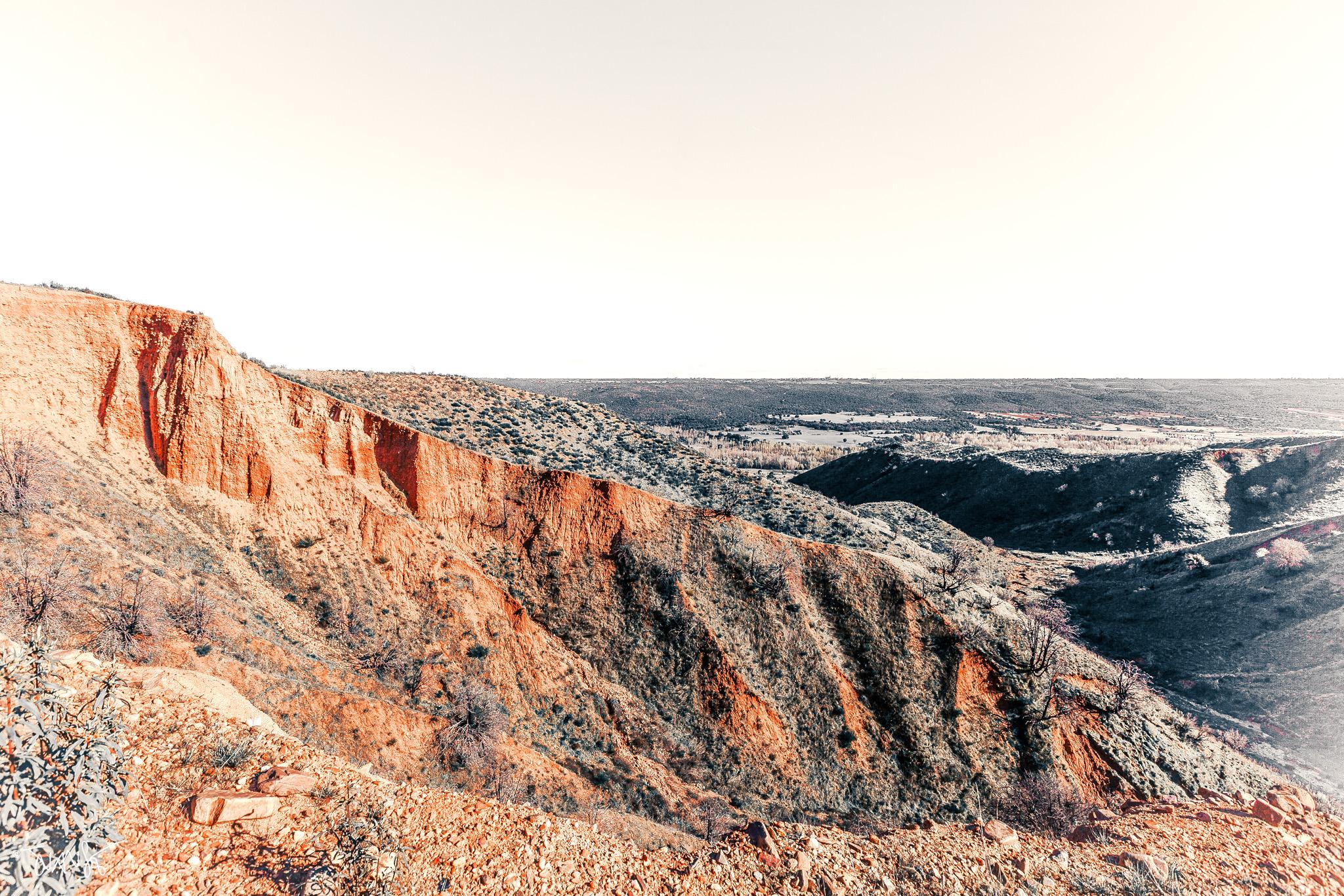
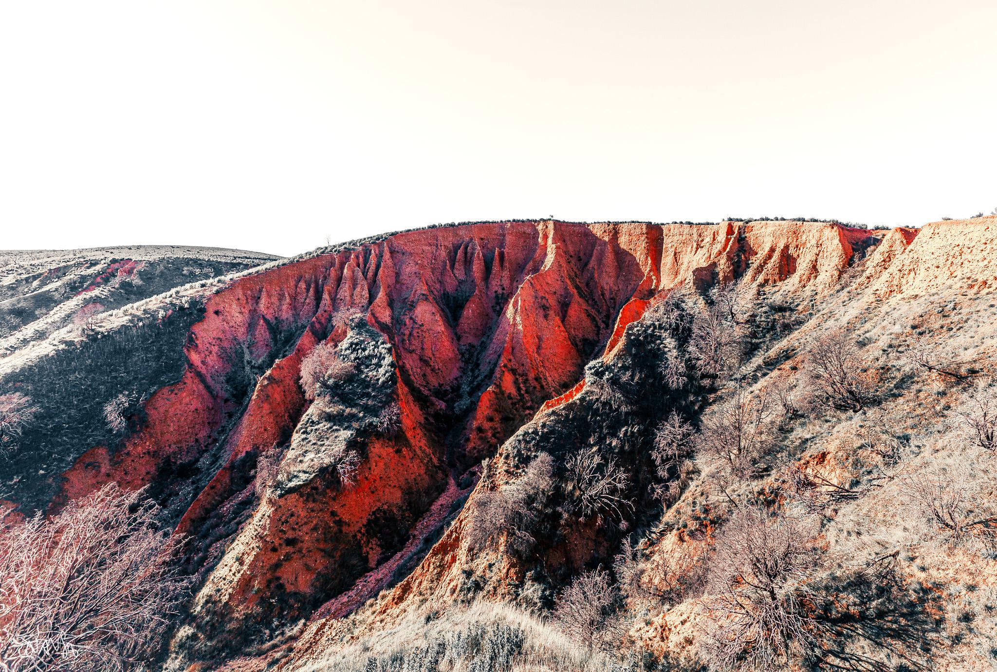
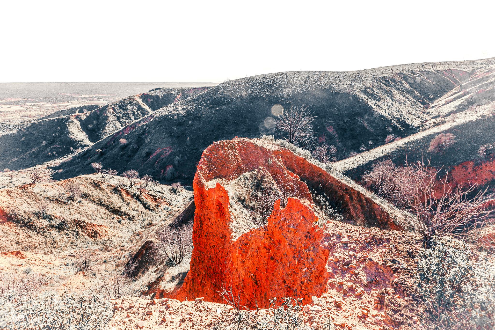
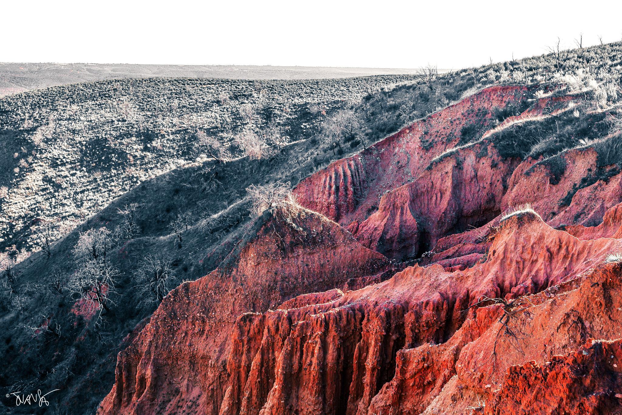
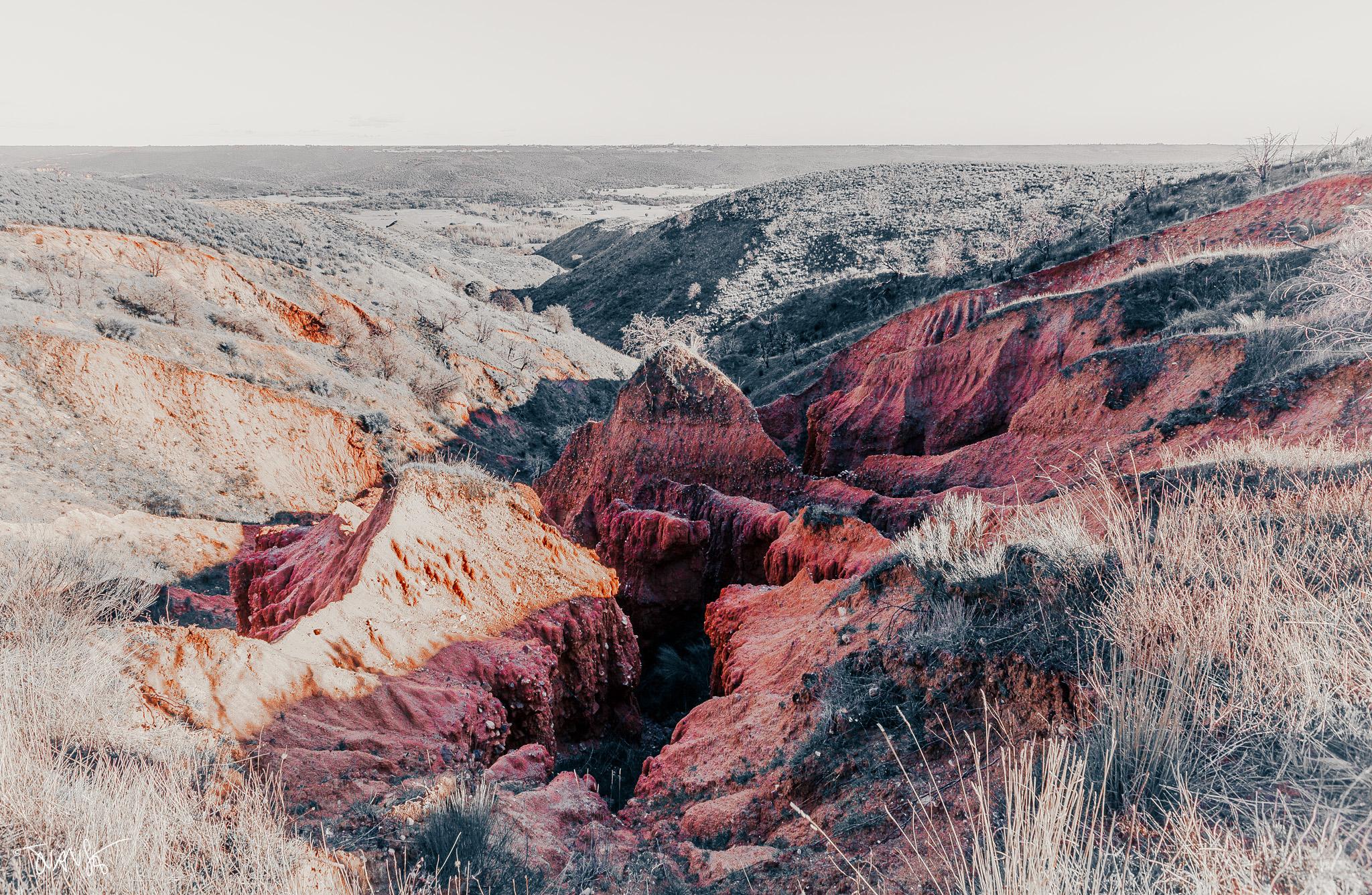
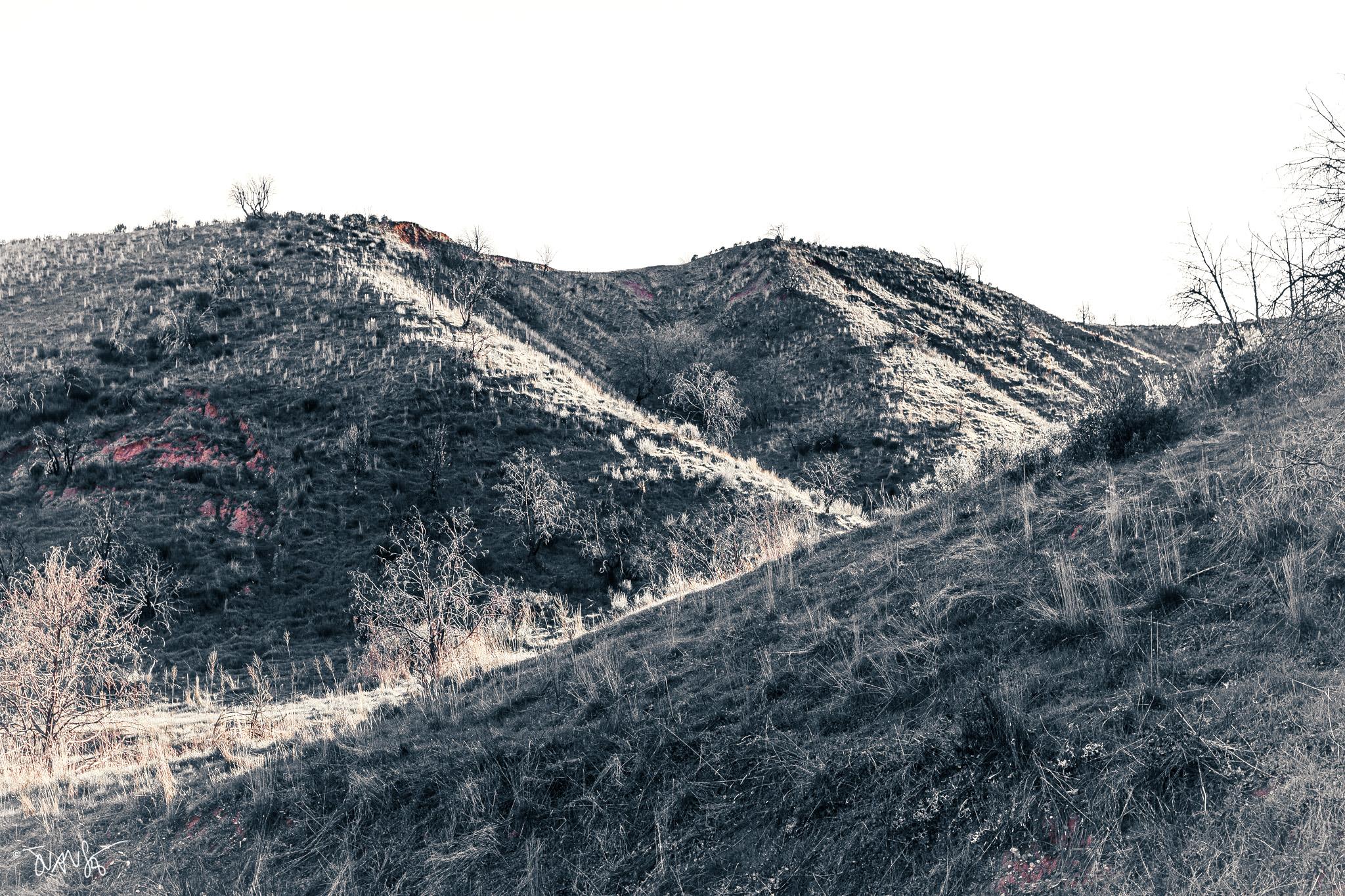
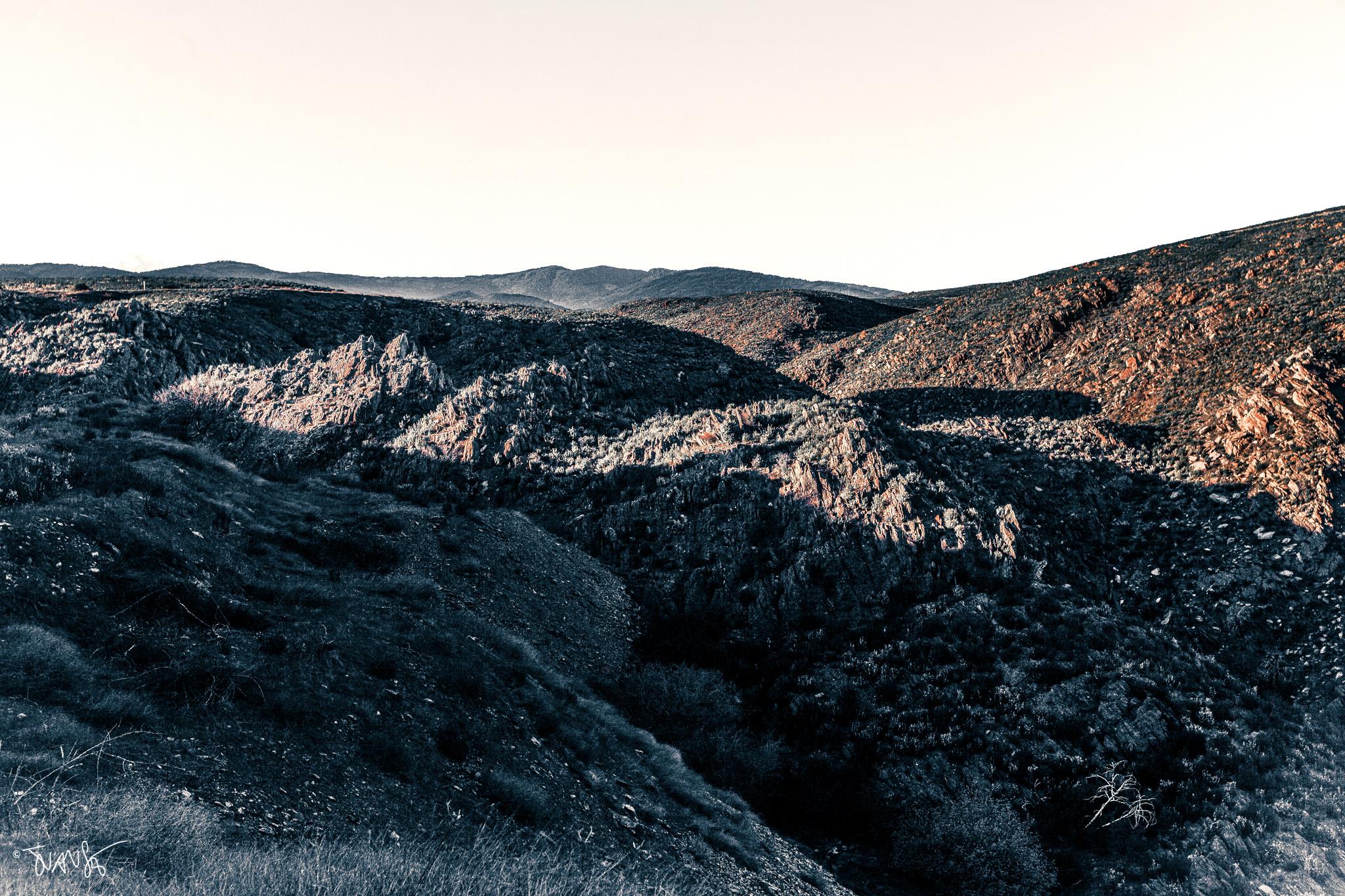
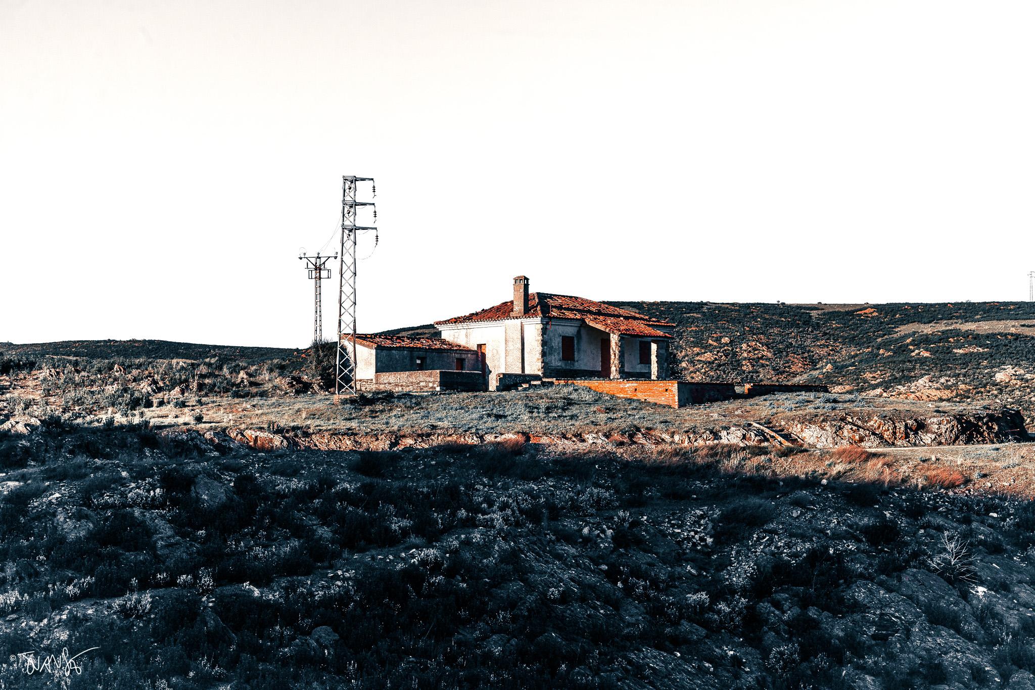
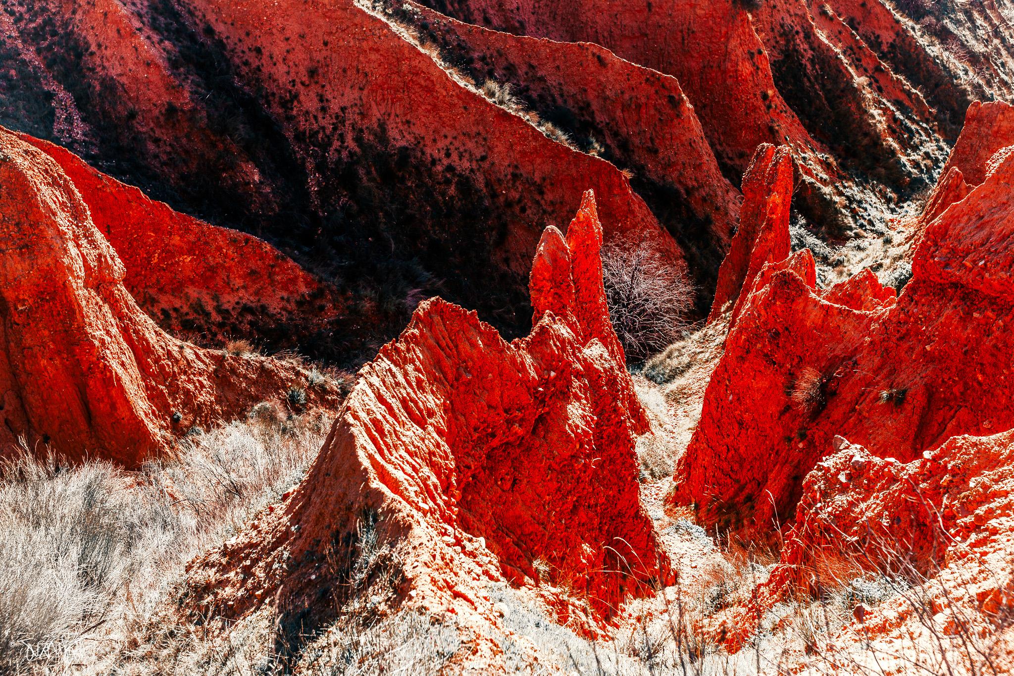
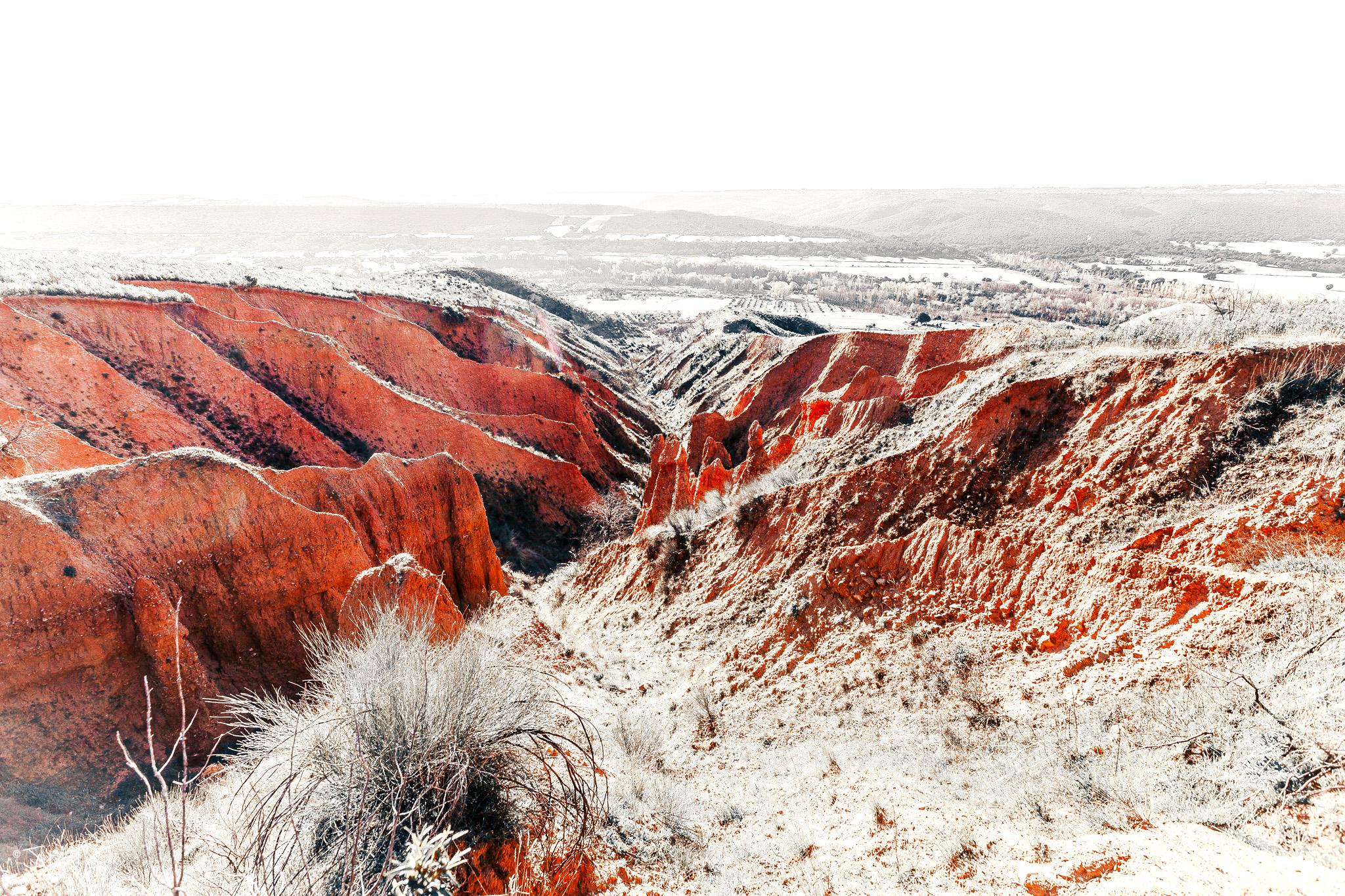
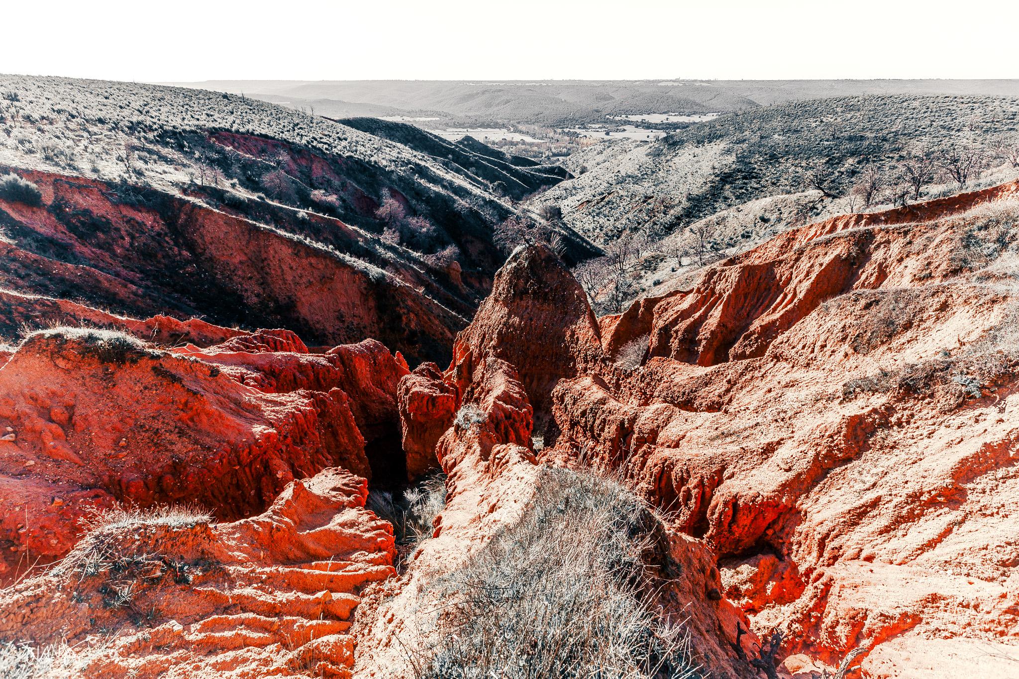
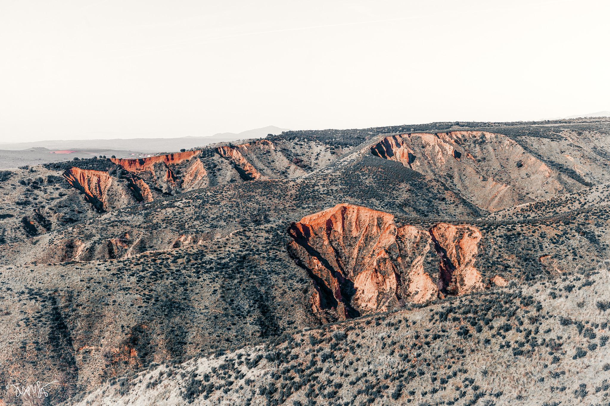
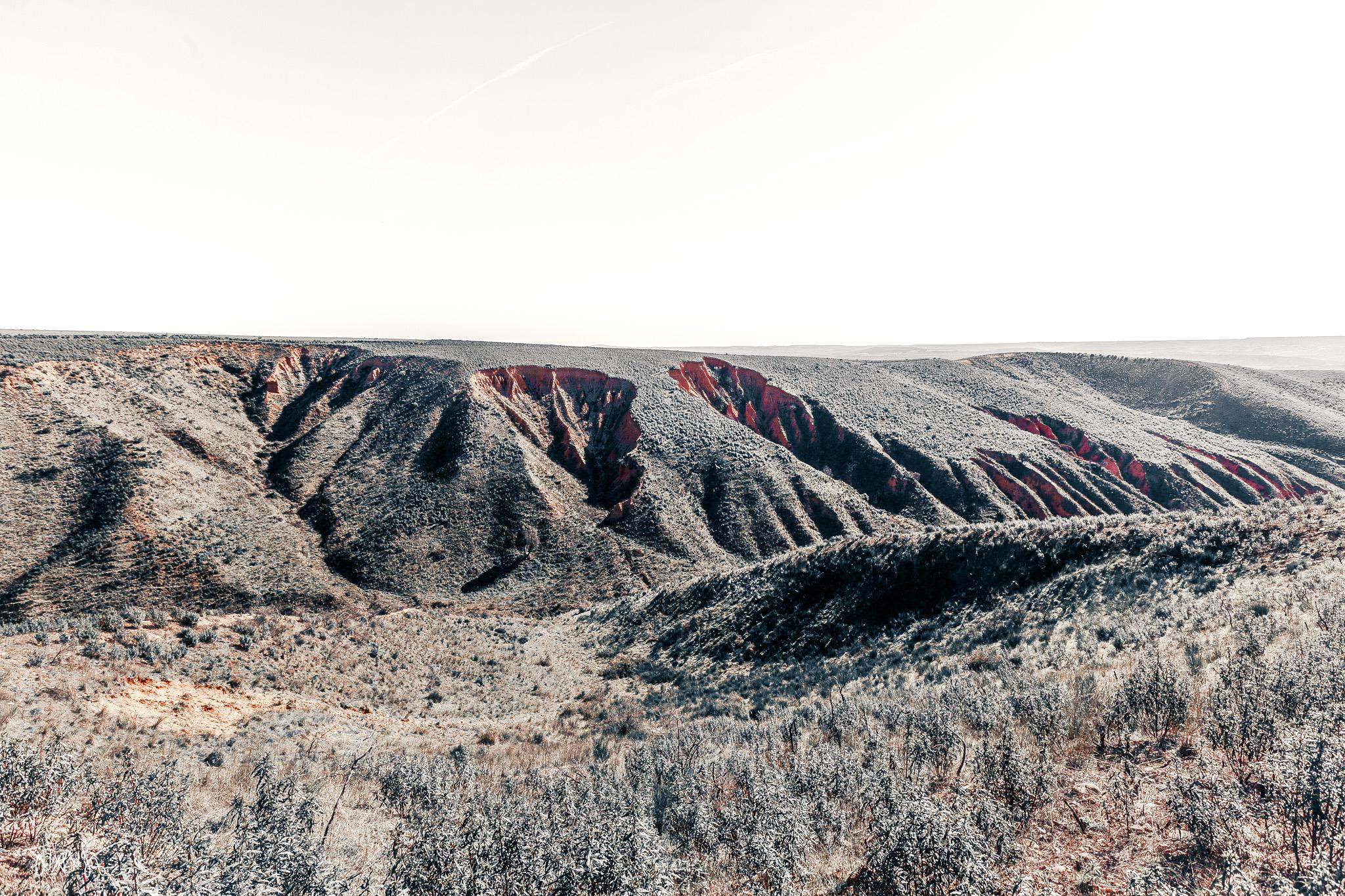
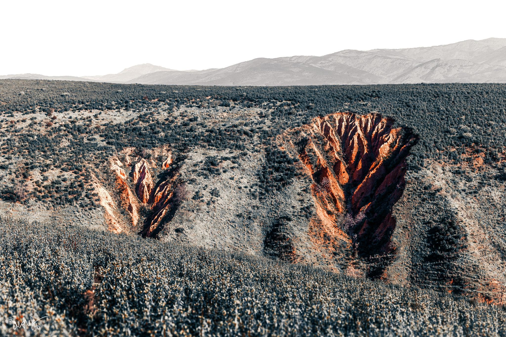
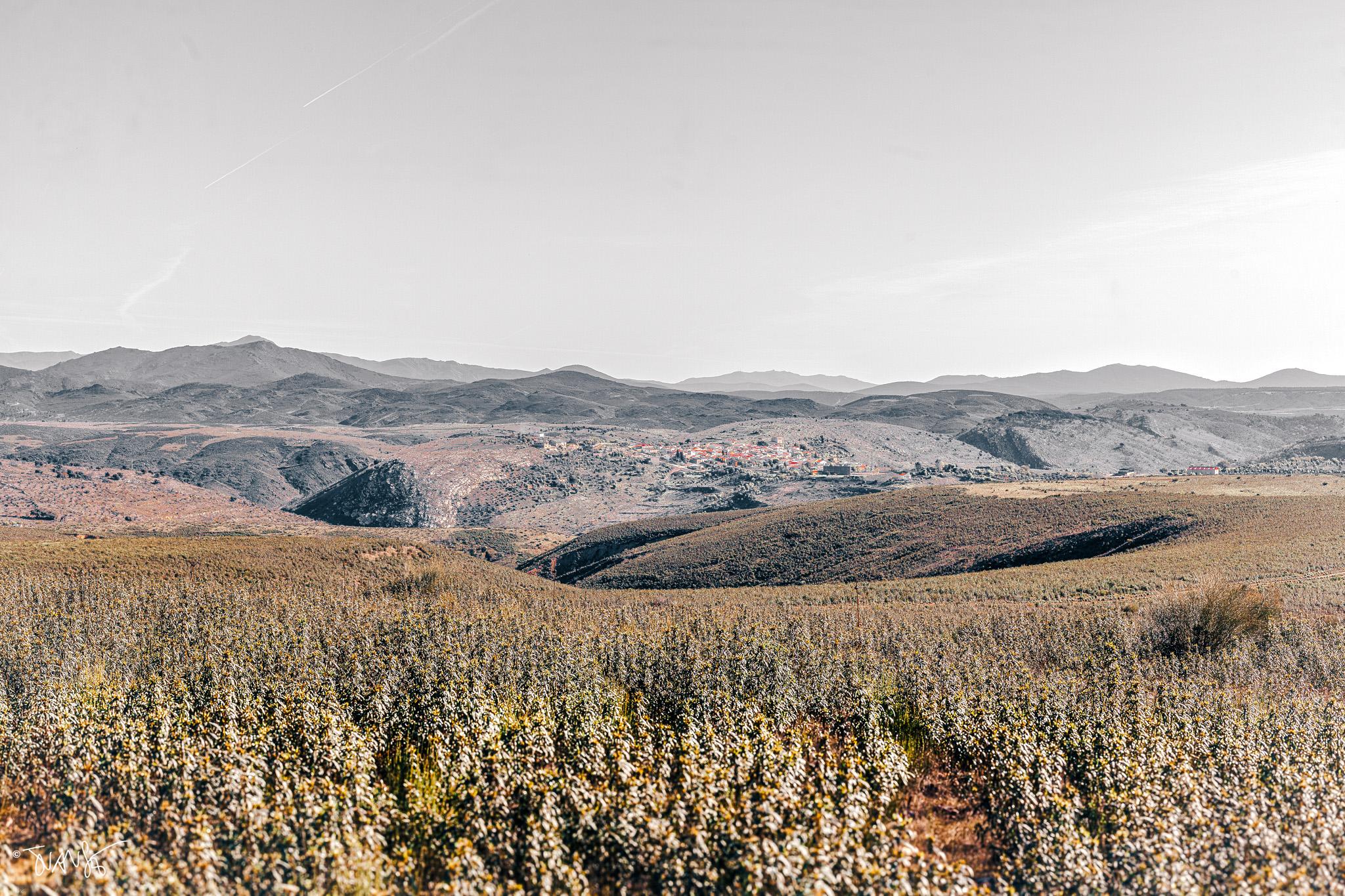
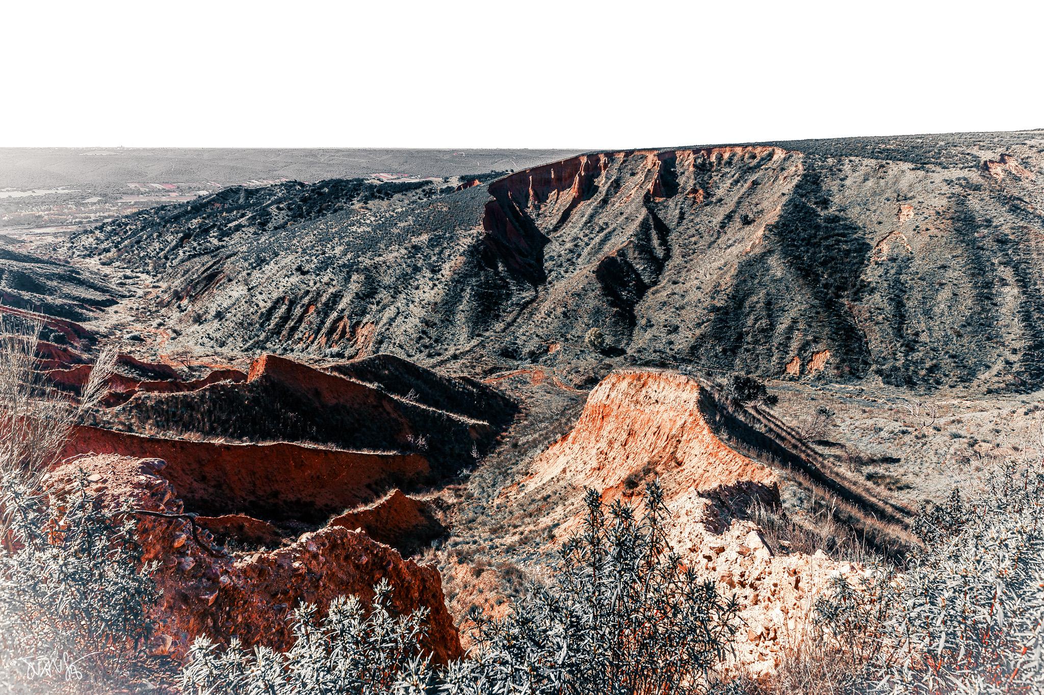
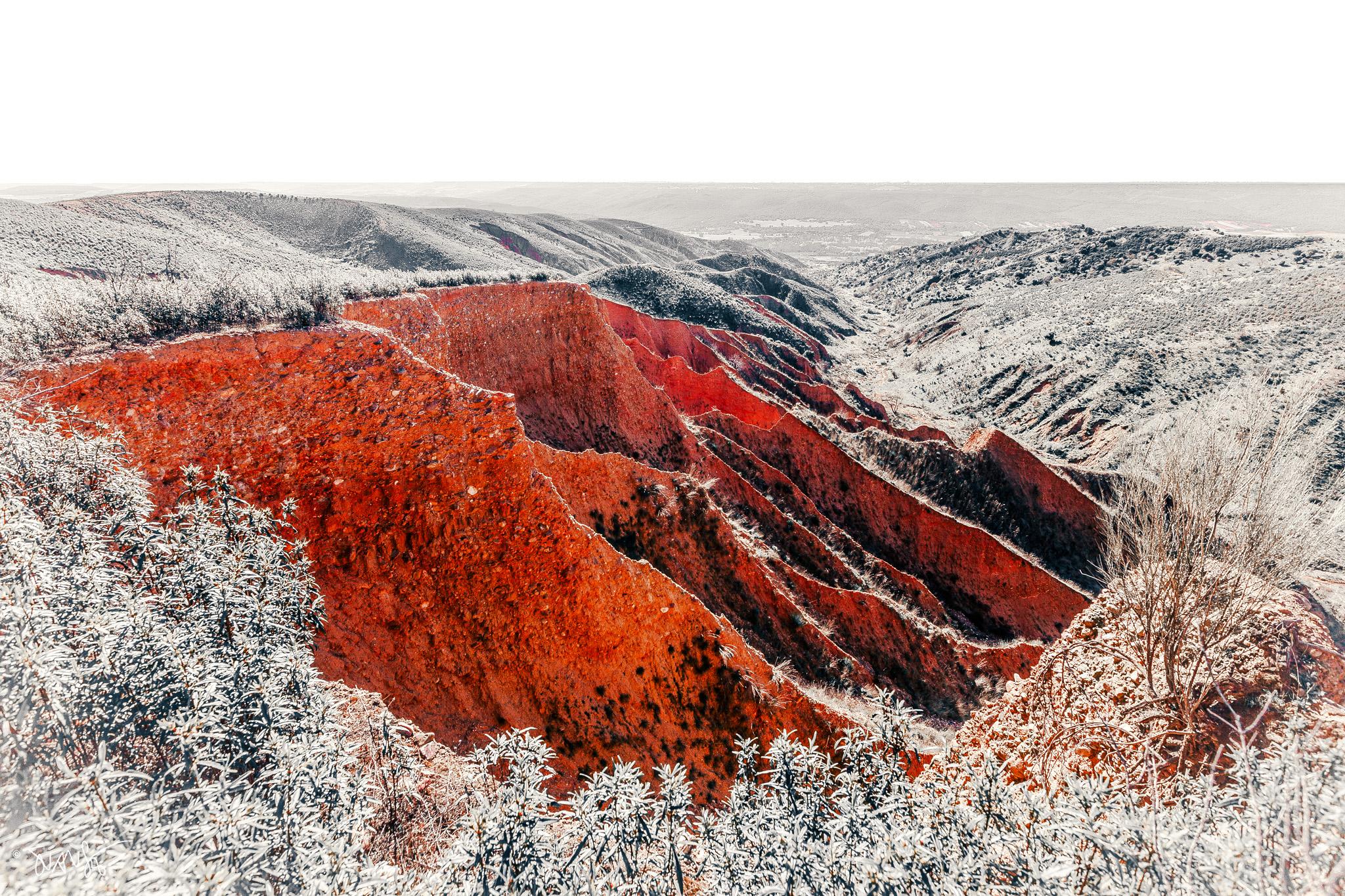
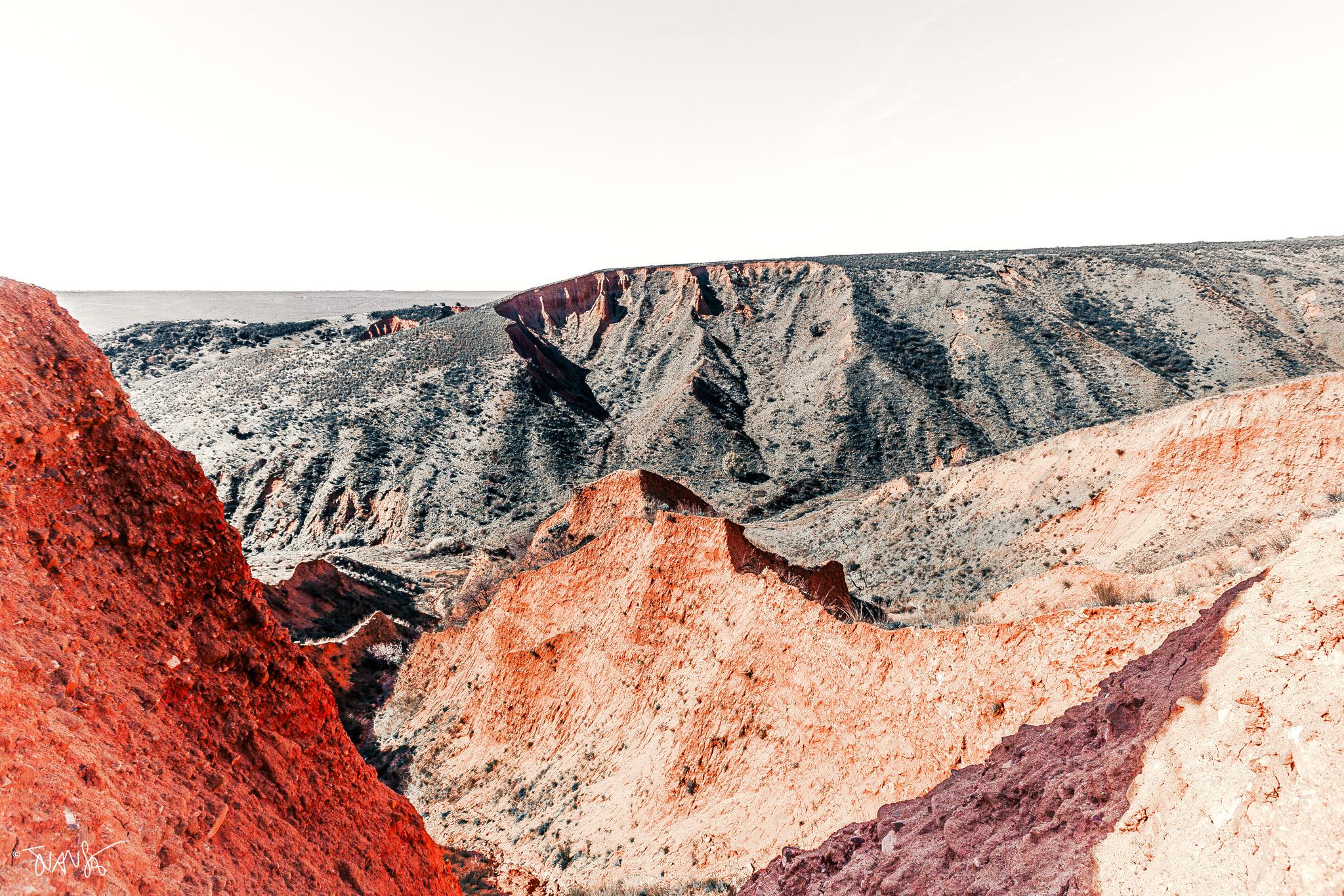
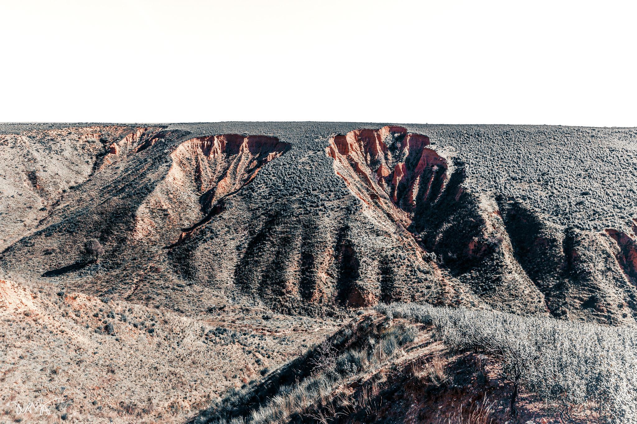
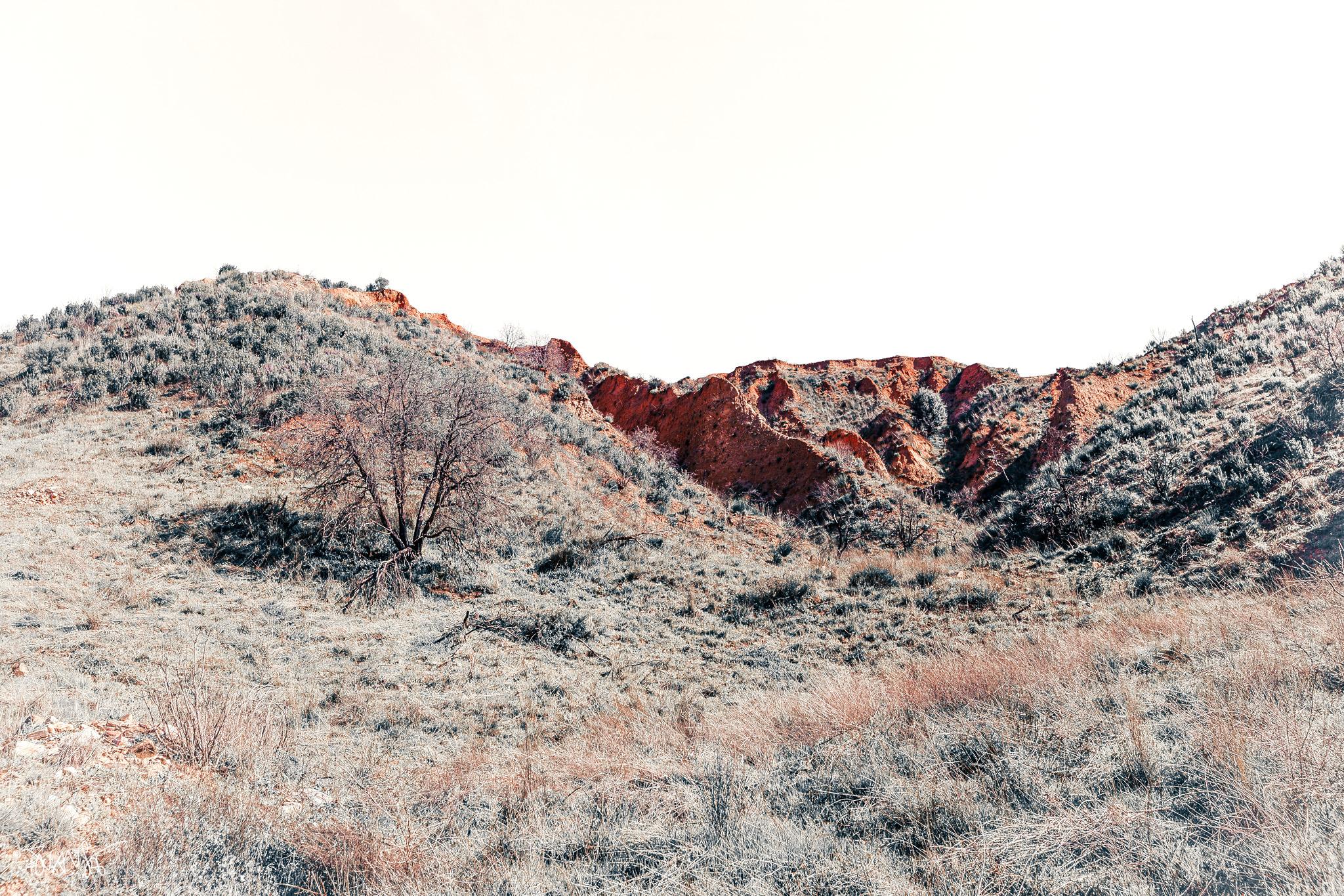
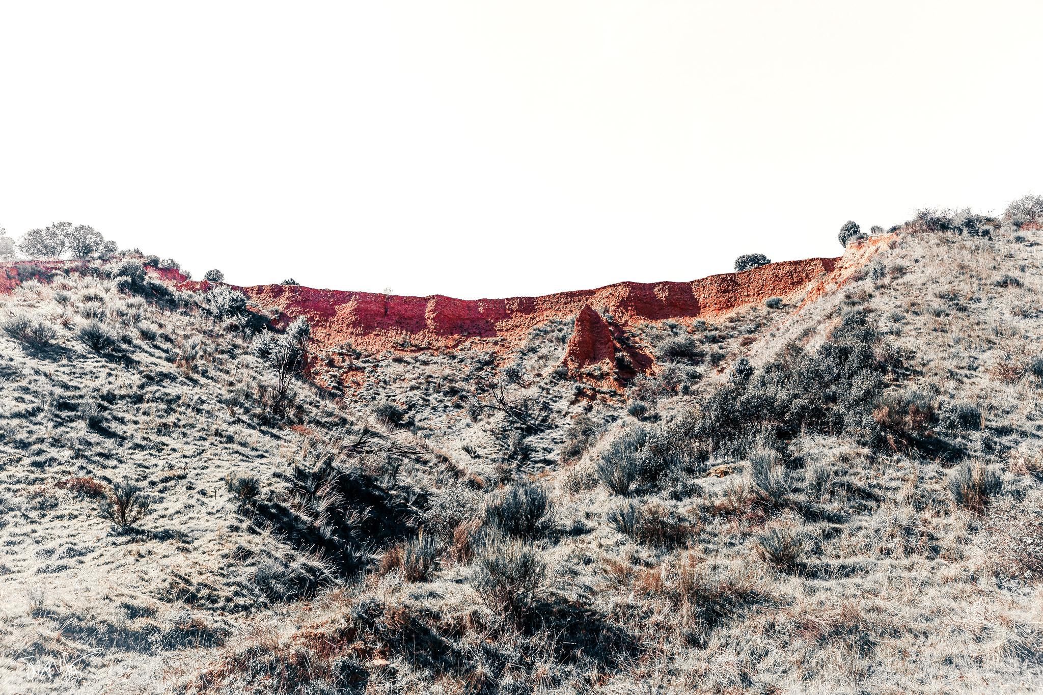
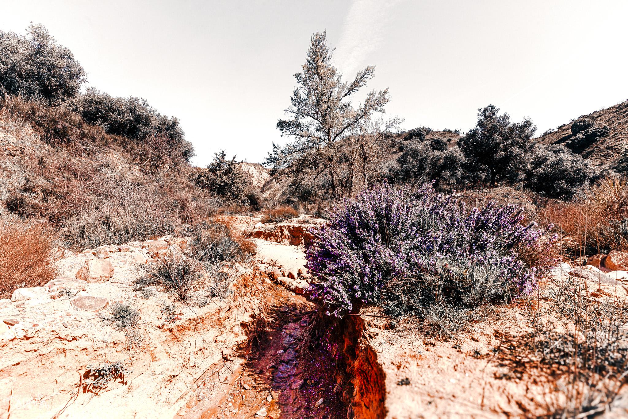
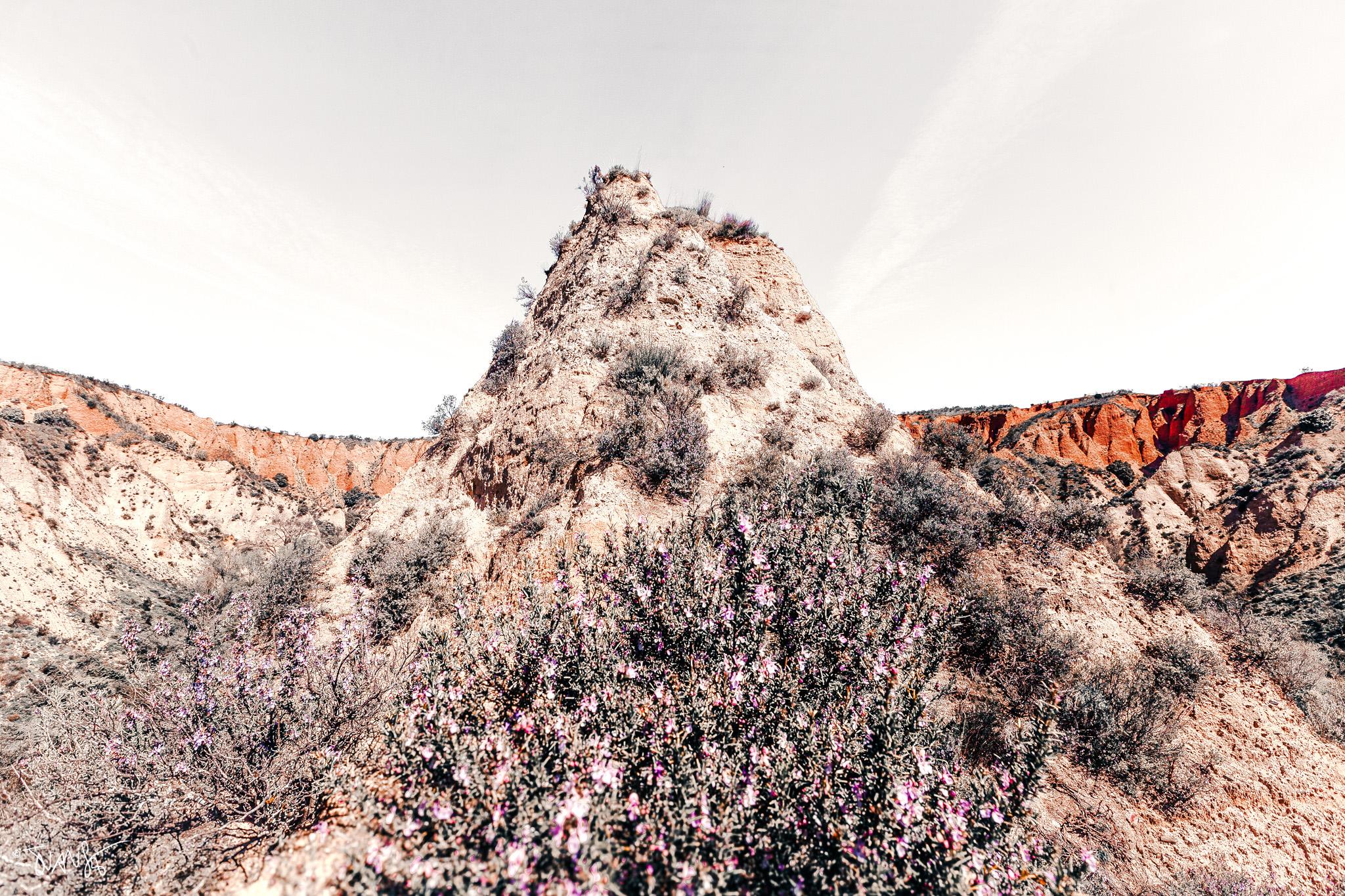
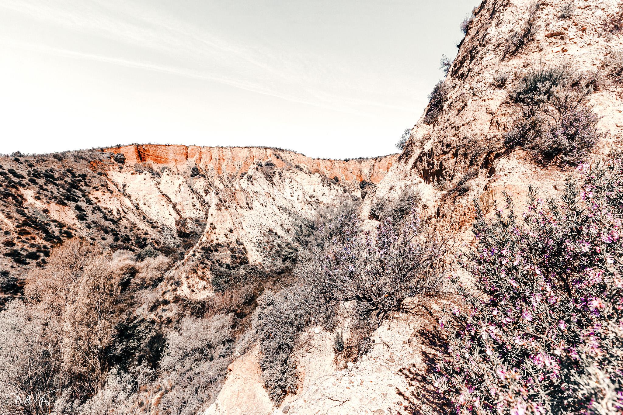
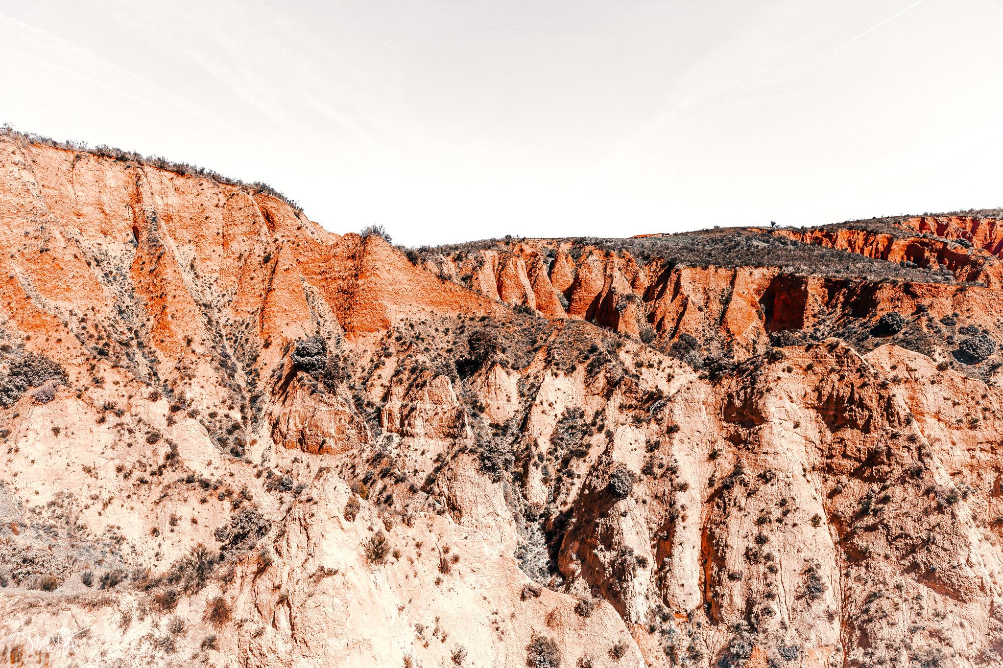
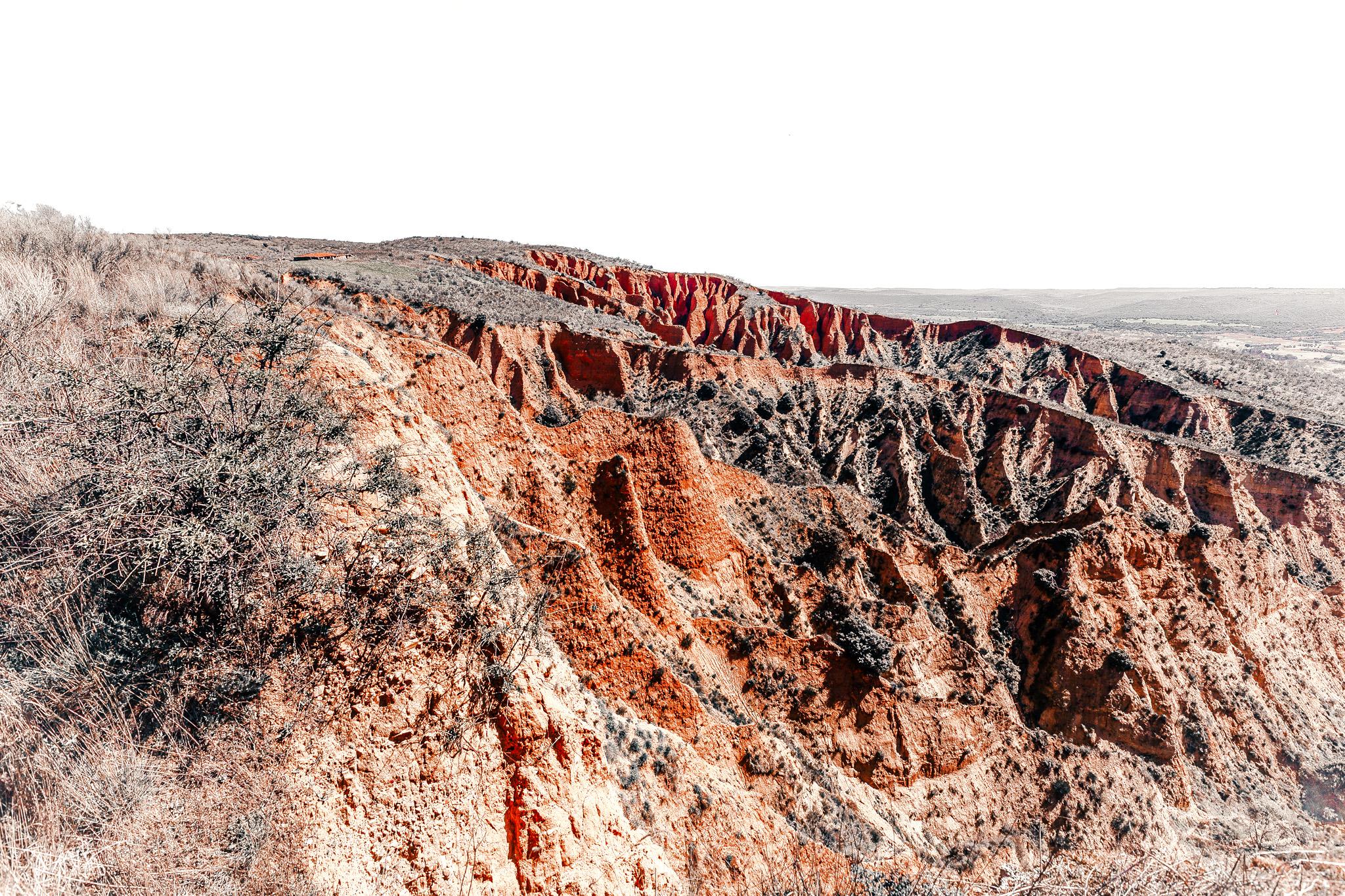
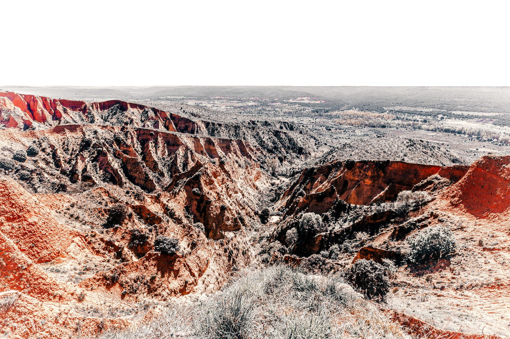
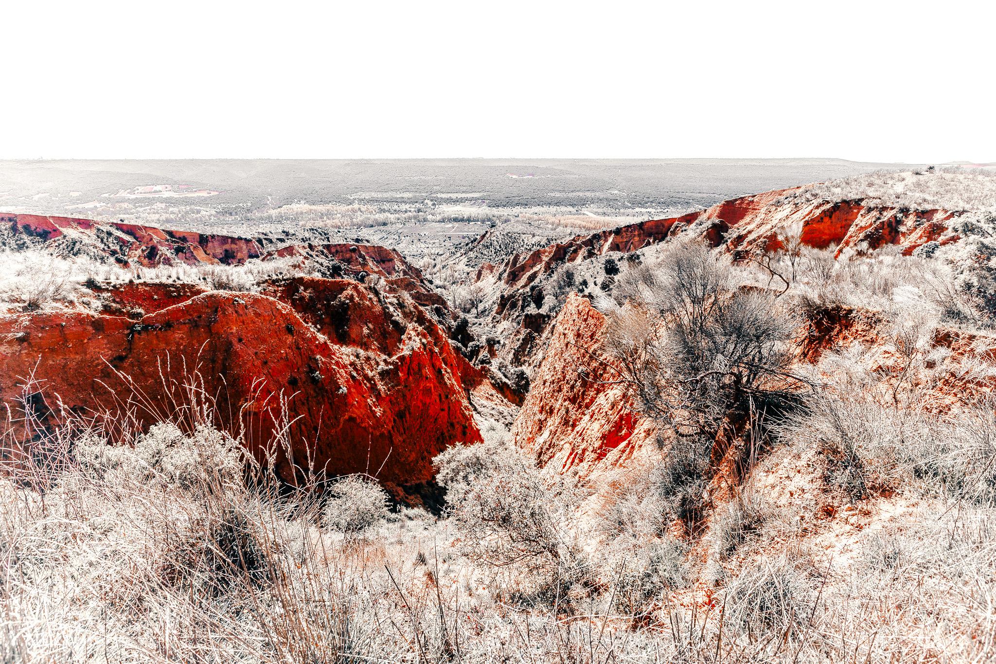
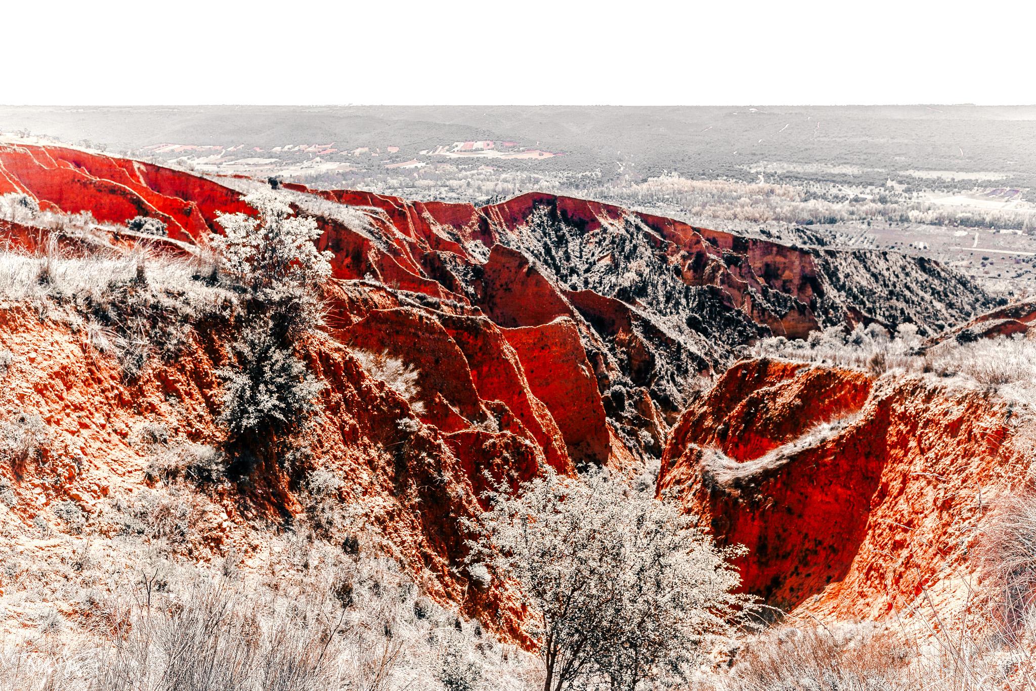
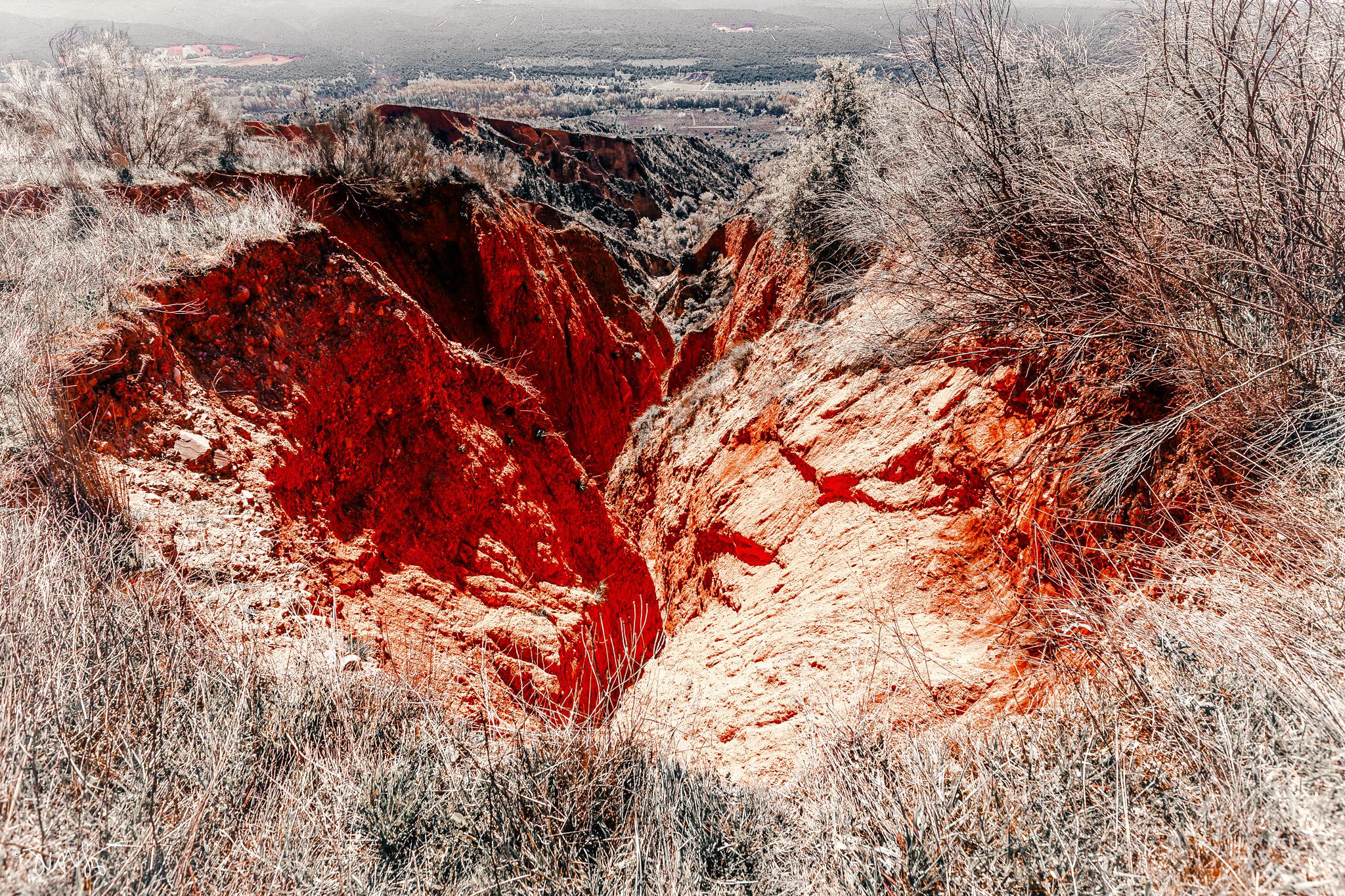
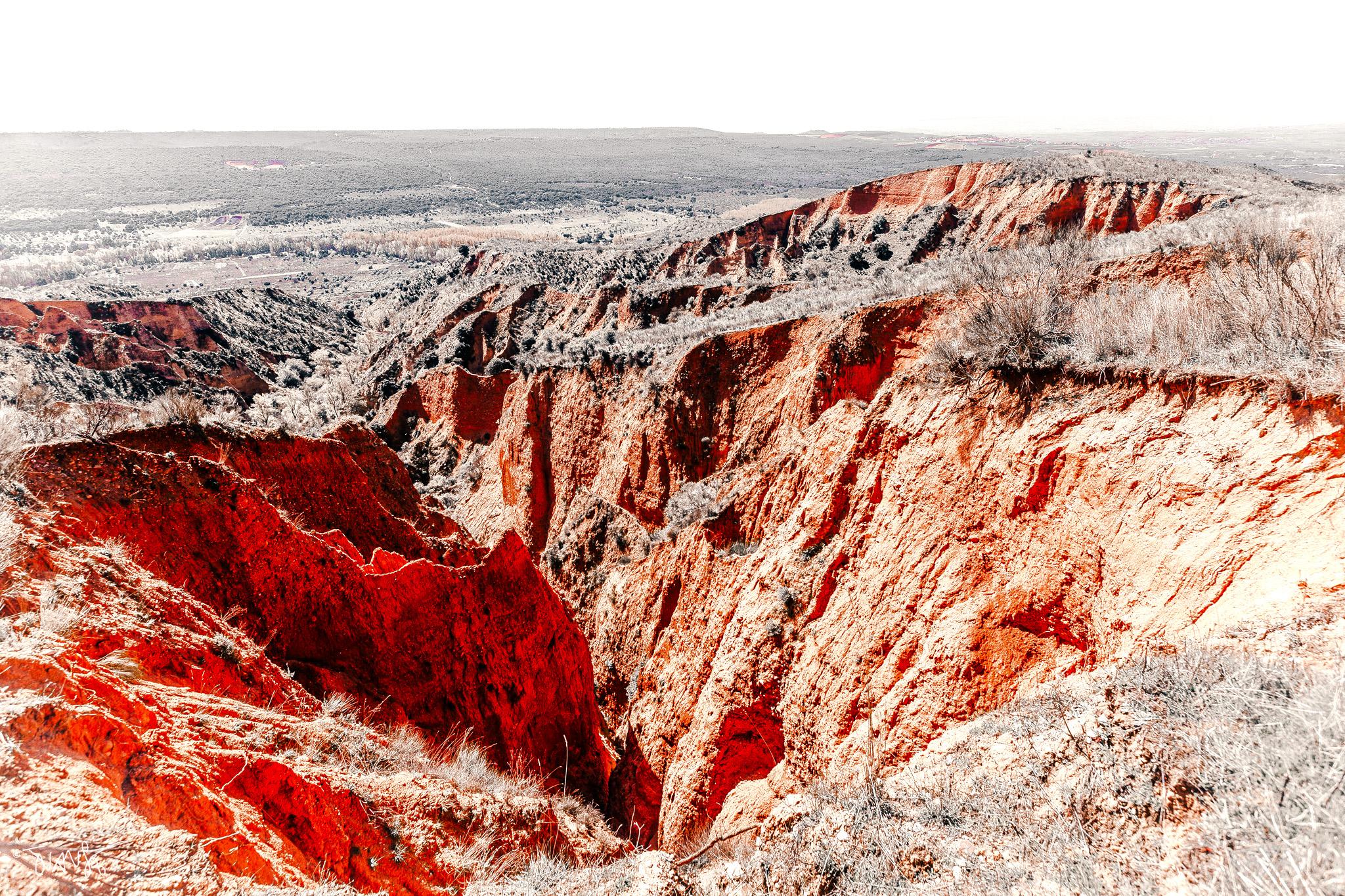
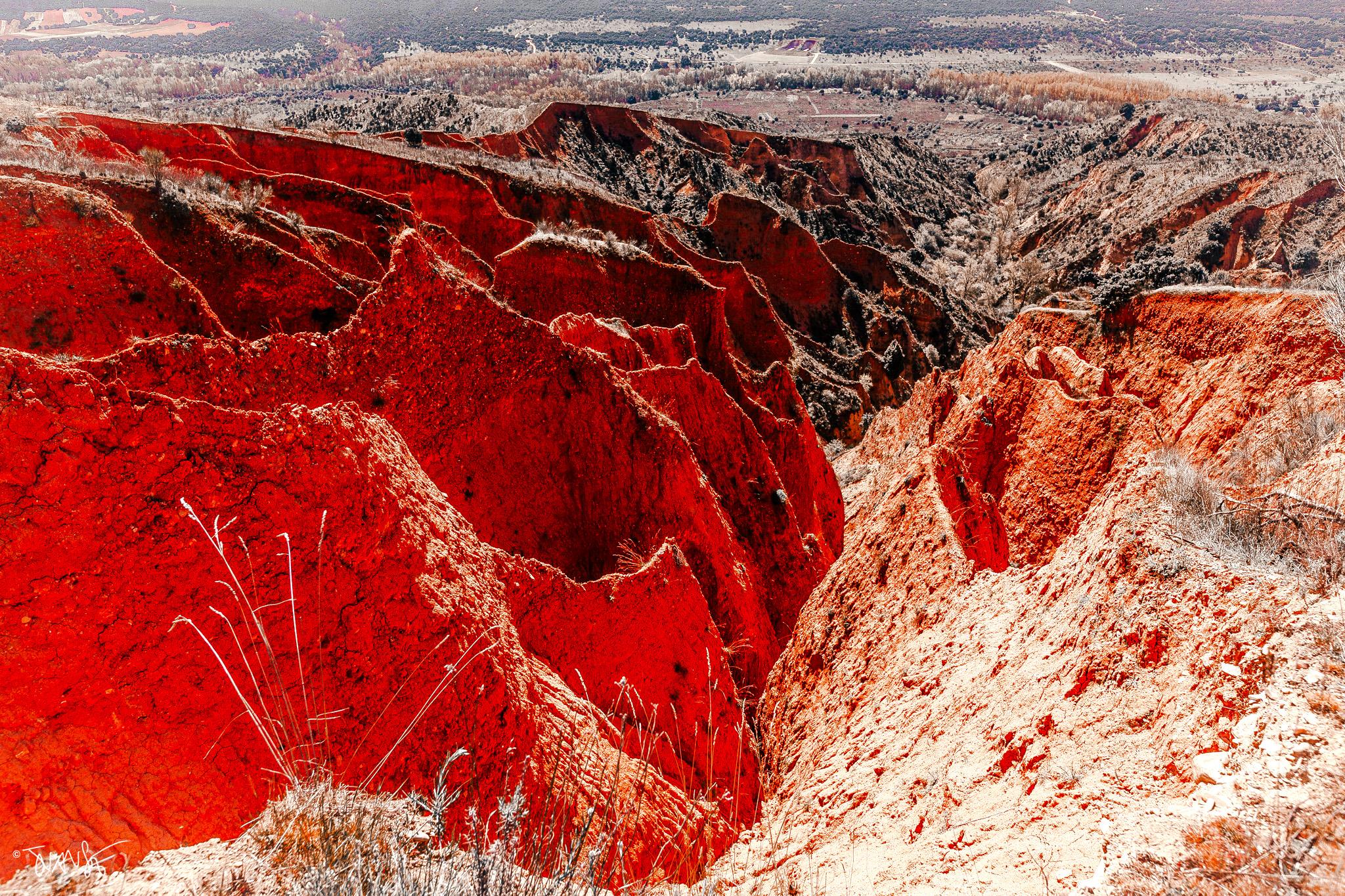
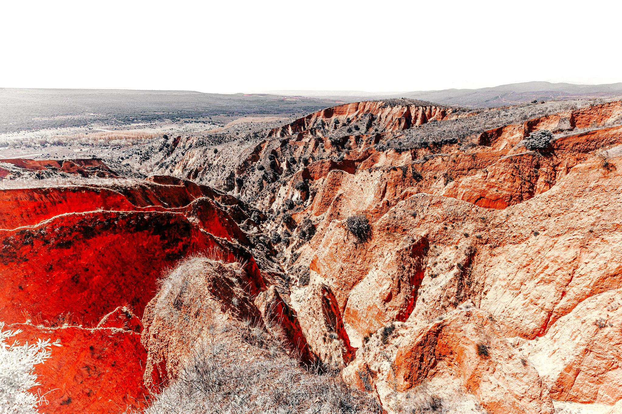
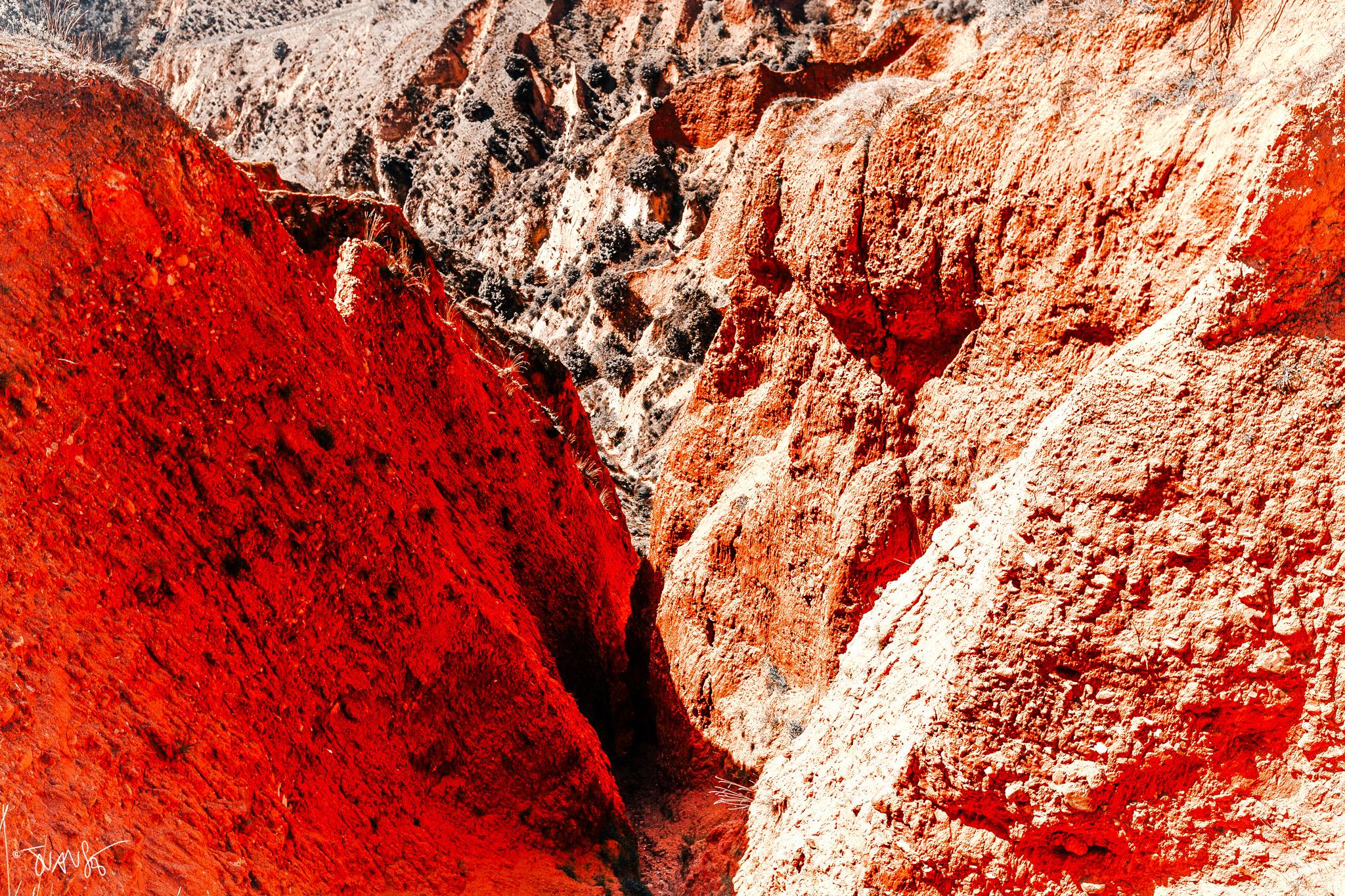
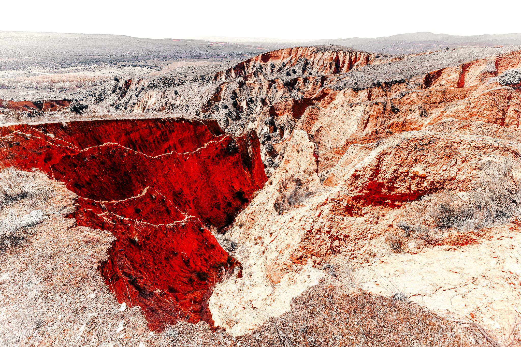
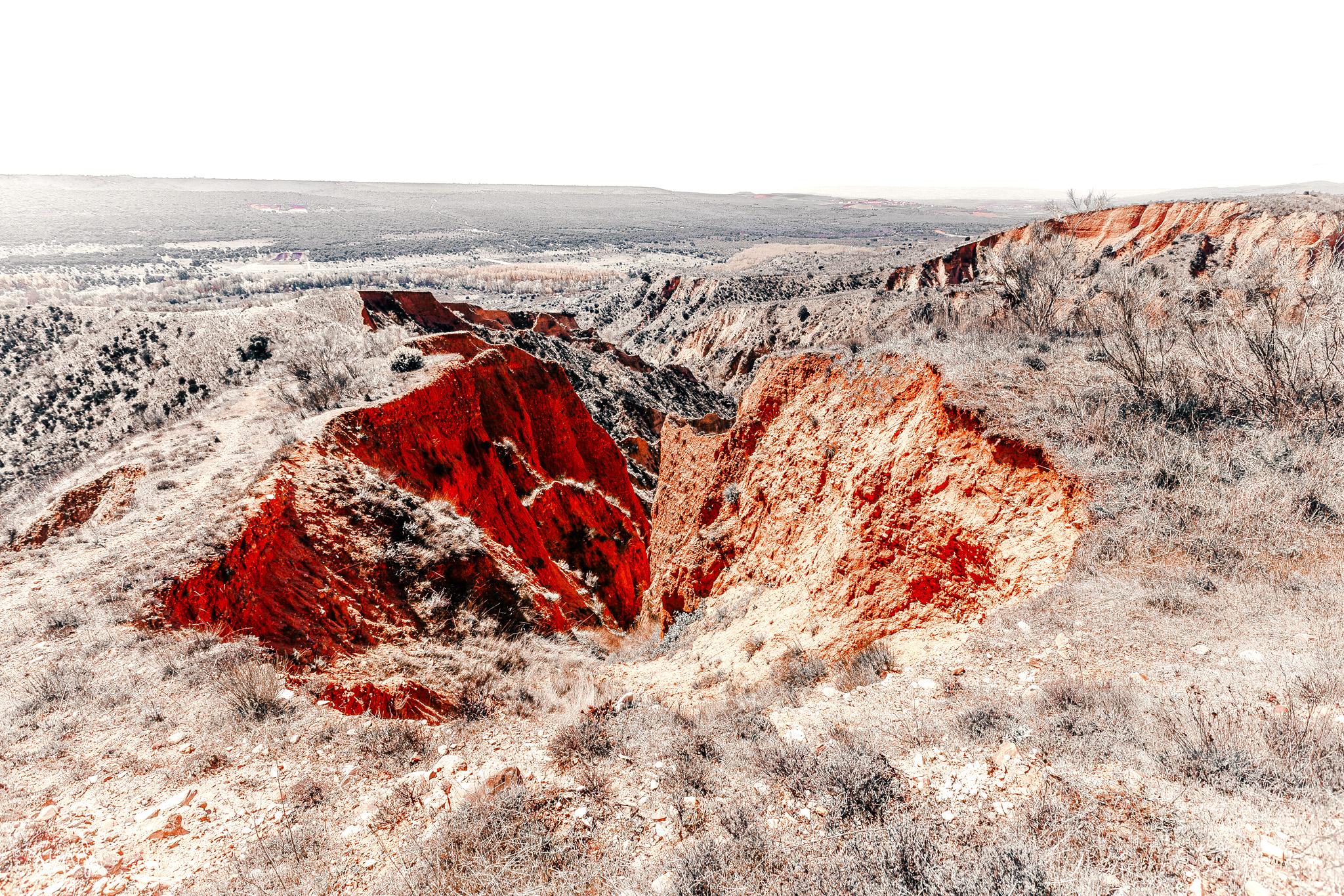
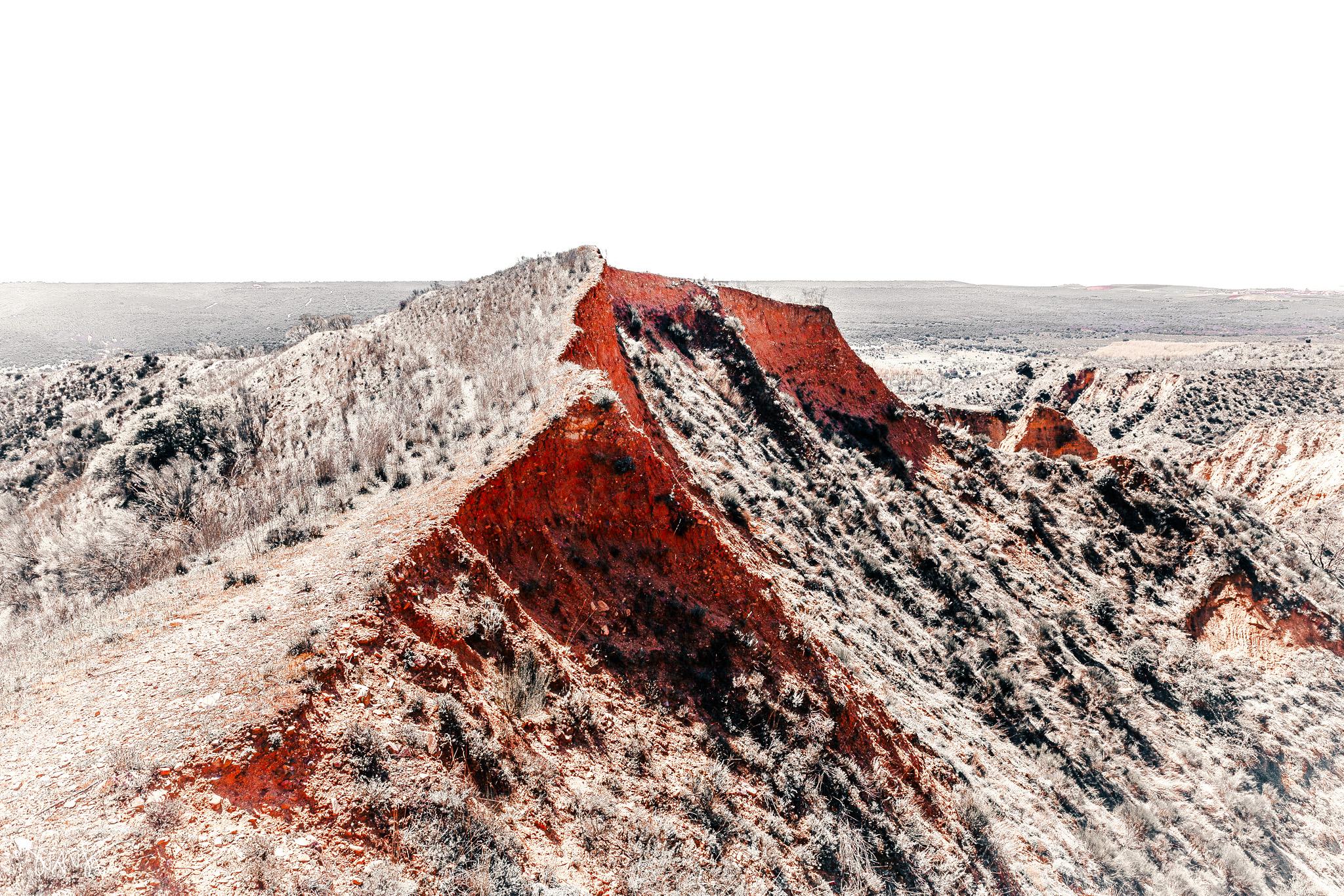
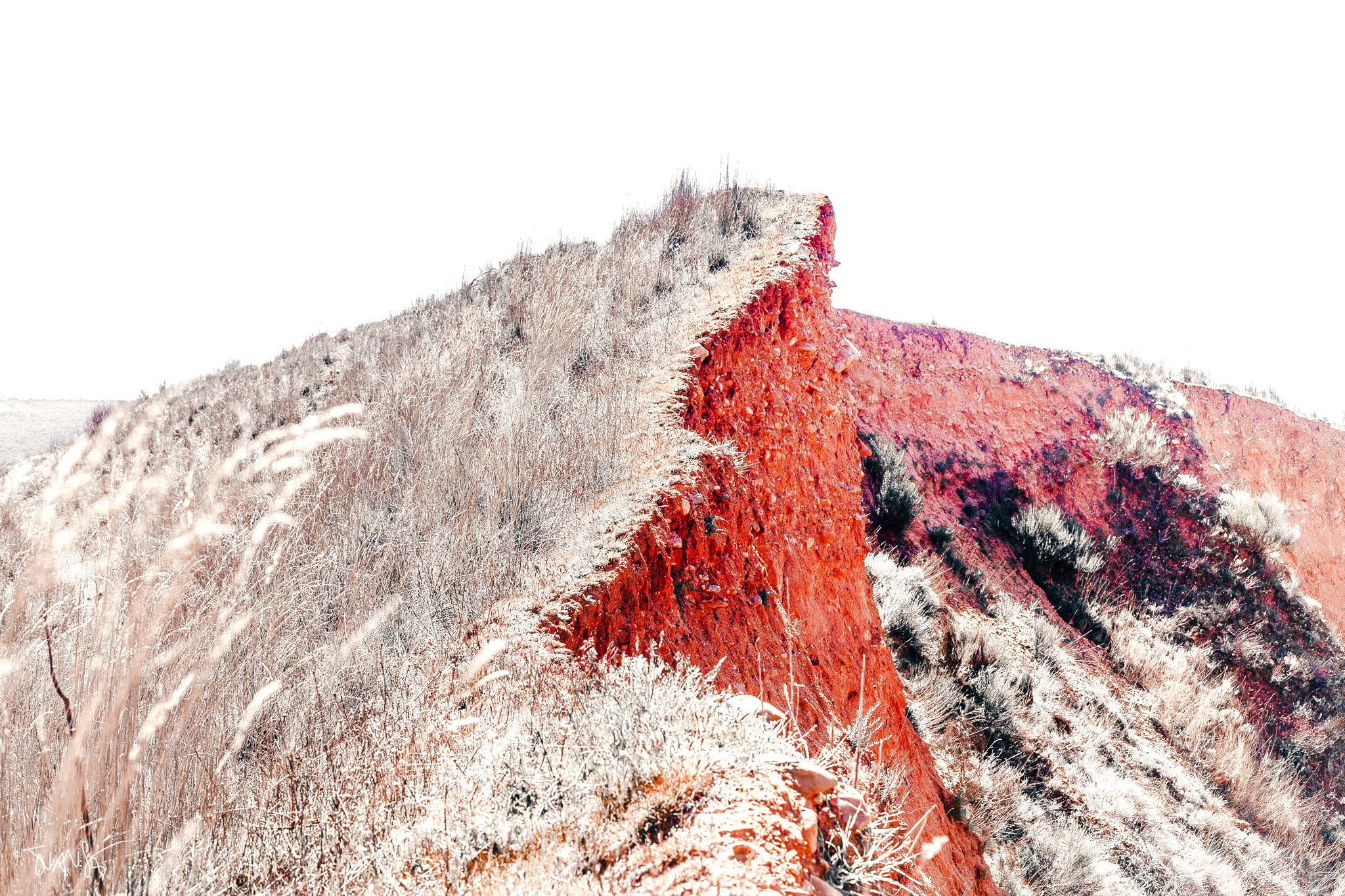
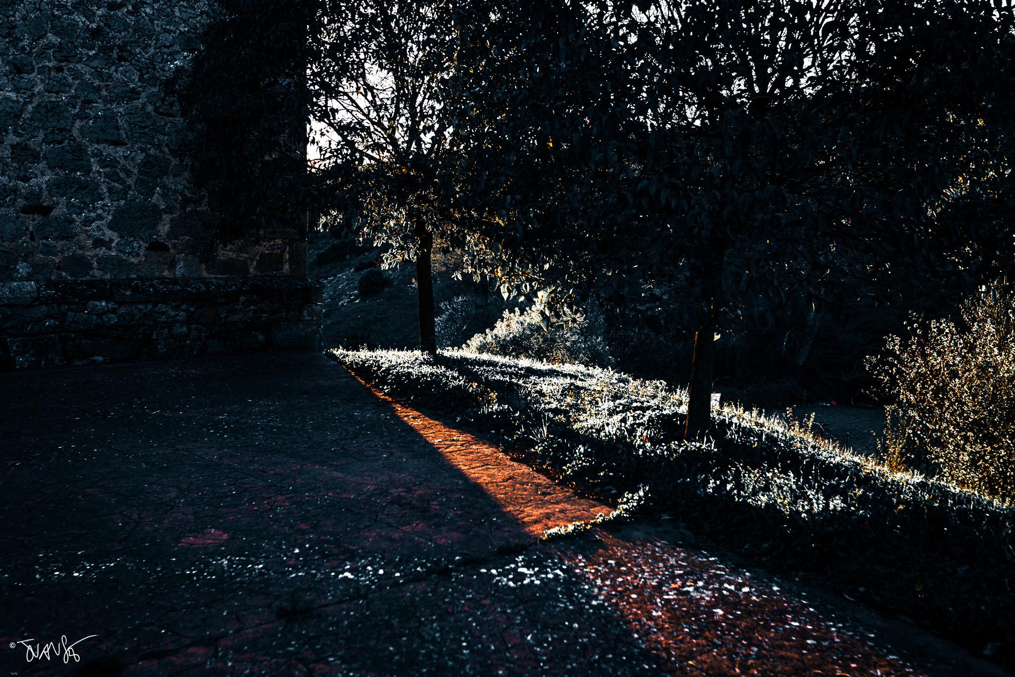
Two days trekking along the edges of the Viñas ravines and the Madroñal stream. Guadalajara (Spain), April 2026.












Notes for photographers
You can park your car nearby and then walk along the ravine until you find a slope leading up to the ridges.
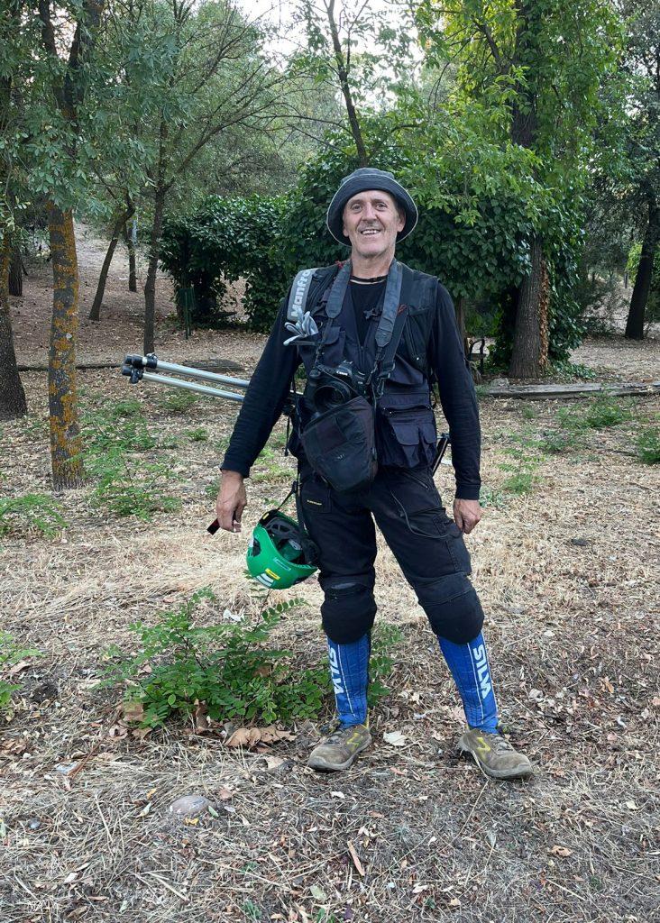
The terrain is steep, and the slopes can be slippery due to loose soil. There are brambles, plenty of rockroses and undergrowth, but few trees; you should wear a hat to protect yourself from the sun and bring water.
Wear long, protective clothing and boots.
Use insect repellent, especially on your trousers, to avoid ticks, which are abundant in spring and summer.
You may encounter wild boars, rabbits and roe deer. However, there are no dangerous animals here.
Important: The area is very rugged and progress is difficult, especially if you stray from the path.
Walking along the edge of the ridges is very dangerous; the drop is high enough that a fall could be fatal.

